PADDLE TRAIL
River Gauge
Understanding River Gauge
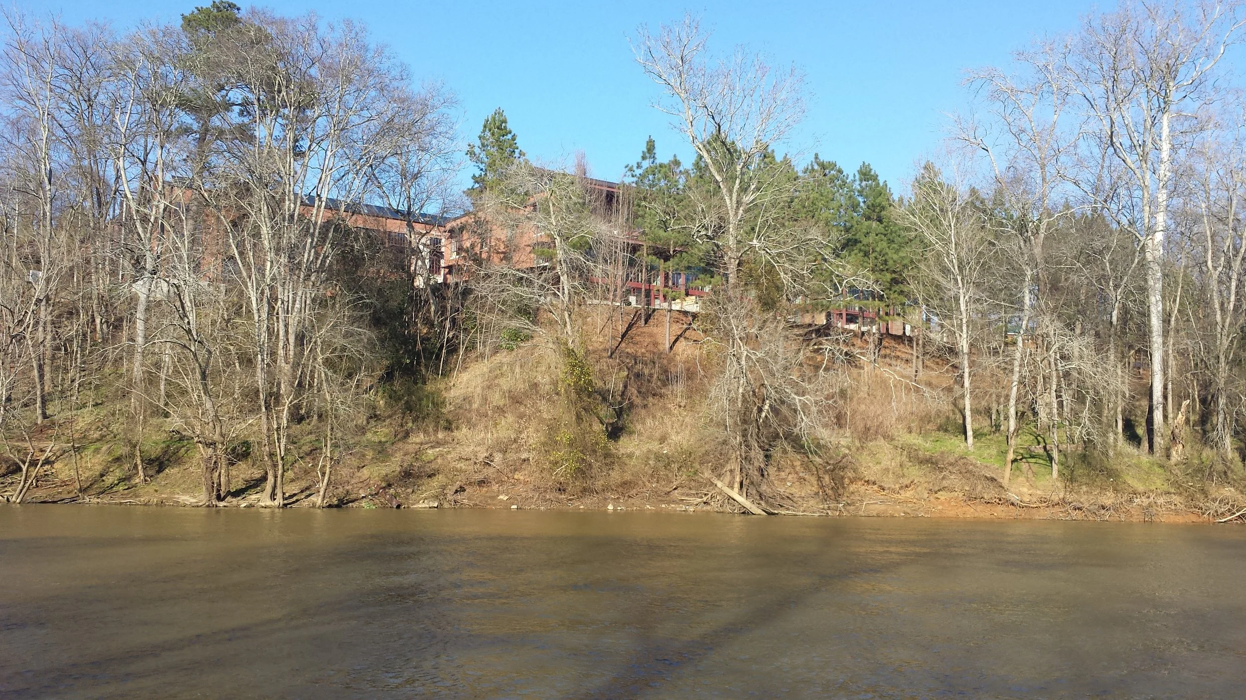
River gauges measure water level and water flow. This information can be used to determine the safety and comfort level of paddling at a given time. Although the Haw River is a wonderful river to paddle under normal conditions, it is subject to extreme changes in water level and flow amounts during periods of rain or drought. During high water events, the Haw River is extremely dangerous. The photo above shows the Glencoe Dam during flood stage. The Haw River is considered to be at flood stage when it reaches 18 feet. For perspective, the maximum safe water level recommended for most sections is only 4 to 6 feet!
In the section of the Haw that passes through Alamance County, gauges are located in three places- Reedy Fork, Haw River, and Bynum. Rough guidelines for safe minimum and maximum water levels for each section are listed in the guide below.
Immediately prior to your trip: Check the USGS river gauge at either Haw River or Bynum for the section you plan to paddle (please see the guide below).
These levels are not one size fits all. Use your judgement before leaving. If the river feels too dangerous for you, postpone your trip.
River Section Gauges
River Section Gauges
| River Section | Gauge | Minimum Water Level (feet) | Maximum Water Level (feet) | Relative Difficulty |
|---|---|---|---|---|
| Brooks Bridge to Altamahaw | Reedy Fork | 0.75 | — | Moderately Difficult |
| Altamahaw Paddle Access to Shallow Ford Natural Area | Haw River | 2.5 | 4.0 | Moderately Difficult |
| Shallow Ford Natural Area to Indian Valley | Haw River | 2.0 | 4.0 | Least Difficult |
| Indian Valley/Glencoe to Red Slide Park | Haw River | 2.25 | 4.0 | Moderately Difficult |
| Red Slide Park to Graham Paddle Access | Haw River | 1.7 | 4.0 | Least Difficult |
| Graham Paddle Access to Swepsonville River Park | Haw River | 1.7 | 4.0 | Least Difficult |
| Great Alamance Creek Paddle Access to Swepsonville River Park | Haw River | None | 4.0 | Least Difficult |
| Swepsonville River Park to Saxapahaw Lake Paddle Access | Haw River | None | 4.0 | Least Difficult |
| Saxapahaw Mill Race Paddle Access to Union Bridge Paddle Access or 15-501 | Haw River | 2.1 | 4.0 | Moderately Difficult |
| Bynum Beach to Hwy 64 | Bynum | 3.3 | 5.7 | Moderately Difficult |
| Hwy 64 to Robeson Creek/Jordan Lake | Bynum | 4.0 | 5.7 | Difficult |